Photos
The Ultimate India Pass
Ride footage // Background video
The Ultimate India Pass — Shots from the Ride
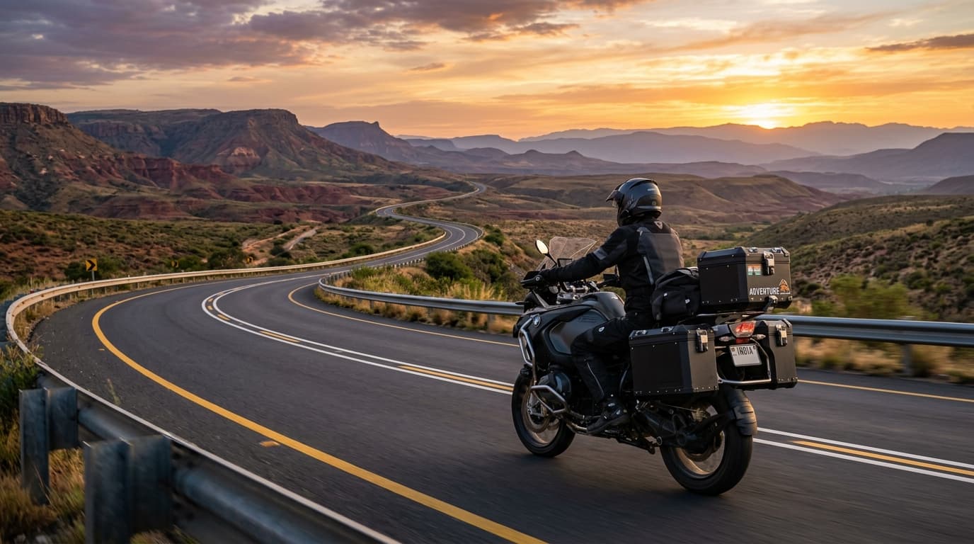
Raw riding footage across high-altitude mountain passes, valleys, and backcountry highways.
Route dossier
The Ultimate India Pass
The complete four-chapter India progression for riders who want to experience the country as one connected expedition record.
Expedition brief
The Ultimate India Pass combines the four core chapters into one progression: tropical south, the north and Ganges, Himalaya and Nepal, then Ladakh.
Dates are coordinated around seasonal windows and the single expedition team. Contact us for the exact sequence, availability and pass terms.
Route snapshot
South India → North India → Himalaya & Nepal → Ladakh
Explore Full Route & Daily Stops in the Atlas
Navigate the interactive map with altitude profiles, fly-in airport join points, and day-by-day stage details.
Highlights
Expedition Class II — EXPEDITION
THE CHALLENGE
Not a vacation. Not a motorcycle rental. An expedition across India & Nepal — long days, real altitude, remote terrain, and a crew that treats the route as a serious operation.
Multi-region, demanding riding.
Coastal roads, desert, sacred cities, Himalayan passes and technical mountain tracks.
How Demanding Is This Route?
The Altitude & Mountain Pass Journey
Hover over any waypoint to inspect elevation, mountain summits, acclimatization rhythm, and stages.
Route dossier
- Day / Sector 1South India → North India → Himalaya & Nepal → Ladakh
Dedicated 5-Person Support Crew on Every Convoy
Backed by a Lead Ride Captain, Sweep Mechanic, 4x4 Chase Truck with spares and medical O2, 4K Cinema Drone Filmmaker, and 24/7 Bilingual Concierge.
Included
- Motorcycle, expedition captain, mechanic and support vehicle.
- Accommodation during the expedition and the meals stated in the confirmed itinerary.
- Fuel for the expedition motorcycle, permits and planned route logistics.
- Emergency first-aid kit and expedition oxygen where relevant to the route.
Not included
- Flights, visas, personal spending and alcoholic drinks.
- Personal travel insurance, medical treatment and evacuation costs.
- Refundable motorcycle security deposit of USD 750–1,000 on arrival.
Rider requirements
- Valid passport and the correct India/Nepal visa for the itinerary.
- Valid motorcycle licence plus International Driving Permit (IDP).
- Travel medical insurance covering adventure motorcycle touring and emergency assistance.